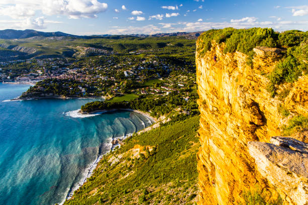
The Route des Crêtes follows the cliffs of the region known as the “Falaises Soubeyranes”. The D141 road along the cliffs is around 15 kilometers long and at its highest point lets you reach an altitude of 394 meters. You will find several places along the road, viewpoints where you can stop the car to better appreciate the splendor of the landscape. Take the time to stroll along the path that follows the cliffs and enjoy this moment at the top of Cap Canaille. From the Route des Crêtes you have a remarkable view of the bay of La Ciotat and Cassis.
Discover the Cap Canaille

